
EVENT INFORMATION
RIVERHEAD FOREST
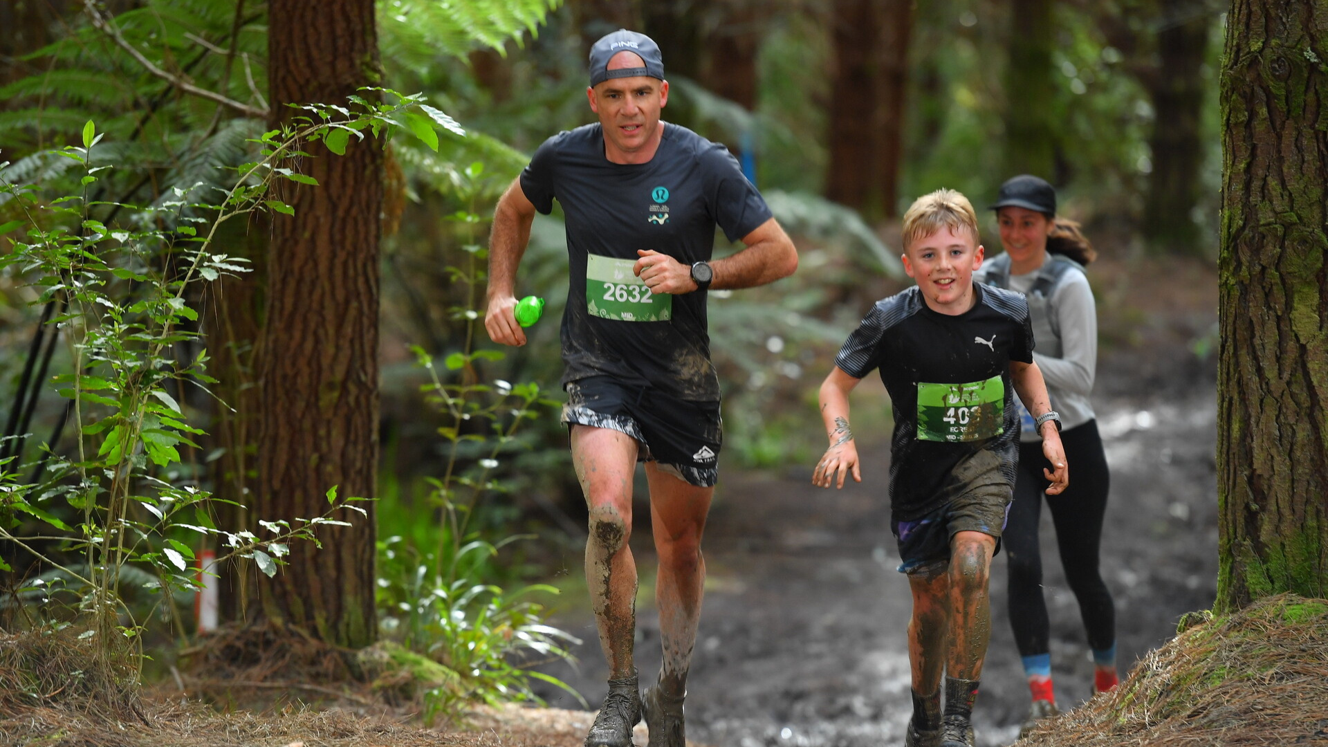
There is an endless and ever-changing network of trails in this pine plantation forest. Once again we can expect Riverhead to have a sufficient amount of glorious mud and clay! For the most part, this course is on a clay surface except for the metaled road sections. We recommend wearing shoes with sufficient tread or pairing up with a buddy at the start or out on course for some of the slippery and steeper parts. It's not by any means scary but it sometimes helps runners and walkers, especially those new to the trails to have someone close by to lend a hand.
The mid and short courses are relatively friendly (elevation wise), once you head deeper into the wilderness (from the event base) there are some real lung-busters and some pretty cool views to be had at these heights. Long and Super long participants - be prepared :)
EVENT INFORMATON
You will find everything you need to know for your event day below and on the Event Information page. Please ensure you have read all of this information thoroughly.
DRIVING DIRECTIONS
When using Google Maps 476 Ararimu Valley Road will take you to the nearest mappable point and event signage will direct you in to the forest from there.
Car parking is limited, so for those of you arriving later in the morning, please expect a 15-20 minute walk to event base.
Please ensure you do not park until instructed to by our parking marshals.
START TIMES
Compulsory event briefings will be held 15 minutes before the start of each event - please be at these!
Super Long (Run only) – 9:00am
Long (Run only) – 9:00am
Mid – 10:00am
Short – 11:00am
CUP FREE EVENT
All our events are cup free in an effort to minimise our waste production. Please remember your reusable cup, hydration pack or water bottle to fill up.
You can purchase a collapsible silicone water cup ($5) or soft flask ($10) at registration if needed.
COURSE INFORMATION
SHORT COURSE
Distance: 6.7km
Total Climb: Approximately 124m
Course Map & Elevation Profile: Click here to view
Course Overview: Starting up Barlow Road to spread out slightly, before turning left into your first track section! Your first few kms are a mixture of clay tracks and gravel road sections, before your only real climb of the day up to ANZAC Road. This is where you split from the other courses and spend a couple of kms along the lovely Ridge Line Road, with your Aid Station in this section at 3.7km. For your final 2kms, you are back into the good stuff, well the muddy stuff! A fun wee downhill track, before rejoining with the other courses to the finish.
Drink Station:
3.7km (with PURE electrolyte hydration, water, ready salted chips, biscuits, oranges & lollies)
Toughness Factor: 7/10
GPX File: Click here to download the Short Course GPX file
Participant Briefing: Click here to view
MID COURSE
Distance: 13km
Total Climb: Approximately 313m
Course Map & Elevation Profile: Click here to view
Course Overview: Your first 4.5km up until the first Aid Station will be a mix of gravel roads and clay tracks, with a cool section through Riverheads Kauri stand. After grabbing your first drink, you will head out on a couple of kms ‘loop’ down an old forest road and back up Tom Thumb track, to the same Aid Station you were just at. From there you head into the depths of “the Valley”, this lovely flat section is surrounded by native bush and being at the bottom of the valley, there will be no shortage of the muddy stuff! Once you get to your next aid station you only have 2.4km glorious km to go, and no more hills!
Drink Stations:
4.5km, 6.9km & 10.6km (with PURE electrolyte hydration, water, ready salted chips, biscuits, oranges & lollies)
Toughness Factor: 7/10
GPX File: Click here to download the Mid Course GPX file
Participant Briefing: Click here to view
LONG COURSE (Run Only)
Distance: 18km
Total Climb: Approximately 422m
Course Map & Elevation Profile: Click here to view
Course Overview: Your first 4.5km up until the first Aid Station will be a mix of gravel roads and clay tracks. After grabbing your first drink, you will head out on your ‘Long Course extension’ which is a lovely mix of some newly discovered tracks and forest roads, before rejoining the Mid Course and heading back to the Aid Station you were at earlier. From there you head into the depths of “the Valley”, this lovely flat section is surrounded by native bush and being at the bottom of the valley, there will be no shortage of the muddy stuff! Once you get to your next Aid Station you only have 2.4km glorious km to go, and no more hills!
Drink Stations:
4.5km, 11.9km & 15.6km (with PURE electrolyte hydration, water, ready salted chips, biscuits, oranges & lollies
Toughness Factor: 7/10
GPX File: Click here to download the Long Course GPX file
Participant Briefing: Click here to view
SUPER LONG COURSE (Run Only)
Distance: 21.1km
Total Climb: Approximately 510m
Course Map & Elevation Profile: Click here to view
Course Overview: Your first 4.5km up until the first Aid Station will be a mix of gravel roads and clay tracks. After grabbing your first drink, you will head West to a lovely mix of some newly discovered tracks and forest roads, before rejoining the Mid Course and heading back to the aid station you were at earlier. From there you head into the depths of “the Valley”, this lovely flat section is surrounded by native bush and being at the bottom of the valley, there will be no shortage of the muddy stuff! Once you get to your next Aid Station you split from the rest of the courses one last time and head up to complete the ‘Super Long extension loop’ on some cool tracks in the northern end of the forest. Once you re-join with the other courses you have a couple of kms to go and no more hills, enjoy!
Drink Stations:
4.5km, 11.9km & 15.6km (with PURE electrolyte hydration, water, ready salted chips, biscuits, oranges & lollies)
Toughness Factor: 7/10
GPX File: Click here to download the Super Long Course GPX file
Participant Briefing: Click here to view
COURSE SAFETY
We recommend running with a Hydration back pack loaded with 500ml - 1 litre of liquid, and other nutritional nibbles. You can expect to be away from base for a decent period of time at these events, and we can't always get aid stations to the points where you may expect them to be. While event medics will be at each event (they will be stationed at the event base, start / finish point) and participants may encounter on course marshals with first aid on them, it also pays to be safety conscious and carry items like:
a basic first aid kit
a cell phone
a whistle
additional warm clothing
It's all about personal responsibility!
Participant Briefing: Click here to view