
EVENT INFORMATION
EVENT INFORMATON
You will find everything you need to know for your event day below and on the Event Information page. Please ensure you have read all of this information thoroughly.
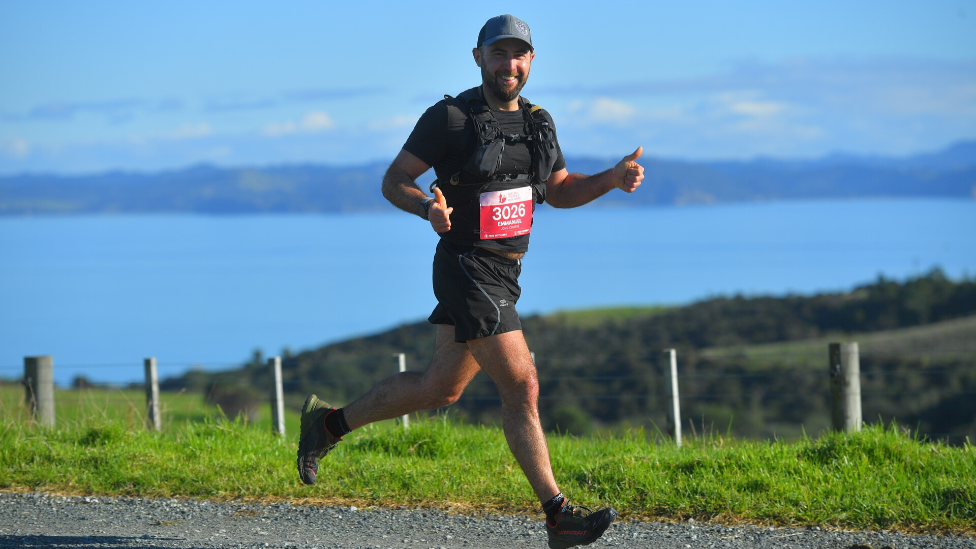
Shakespear Regional park event information email
SHAKESPEAR REGIONAL PARK
At the tip of the Whangaparaoa Peninsula lies the stunning Shakespear Regional Park. Shakespear is the ideal entry level course – so bring your family and friends with 100% confidence that they will love every minute!
Shakespear's got it all - farmland, friendly animals, well-groomed single track, wider open trails, a waterfall, one or two decent hills, and stunning views! It is also home to NZ's most-visited wildlife sanctuary.
KAURI DIEBACK PREVENTION
As trail users we all need to do our bit to protect the Kauri and prevent the spread of Kauri Dieback disease.
All footwear should be clean and free from any trace of visible soil.
Footwear should then be disinfected once soil has been removed.
Stay on tracks and off Kauri roots.
For more information please see: www.kauriprotection.co.nz
START TIMES
Compulsory event briefings will be held 15 minutes before the start of each event - please be at these!
Super long (Run Only) – 9.00am
Long (Run Only) – 9:10am Long Course will be briefed at 8:50am with Super Long as usual, but will start 10mins later at 9:10am
Mid run – 10:00am
Mid walk – 10:05am
Short run – 11:00am
Short walk – 11:05am
DRIVING DIRECTIONS
Shakespear Regional Park is well signposted from SH1 so follow these until you reach the park.
Our event base is located next to Te Haruhi Bay. If using Google maps Bruce Harvey Drive, Army Bay will take you to the nearest marked road and you can follow the event signage from there.
Please adhere to the 30km speed limit inside that park at all times – this road also forms part of the event course so here may be runners crossing some sections of road. There will also be slight delays getting into the park when earlier events are starting, so please allow yourself some additional time to get to event base.
PLEASE NOTE: No dogs are allowed in your cars, on the course or within the regional park grounds
CUP FREE EVENTS
All our events are cup free in an effort to minimise our waste production. Please remember your reusable cup, hydration pack or water bottle to fill up! You can purchase a collapsible silicone water cup ($5) or soft flask ($10) at event base.
COURSE INFORMATION
SHORT COURSE
Distance: 5.7km
Total Climb: Approximately 140m
Course Map & Elevation Profile: Click here to view
Course Overview: Beginning with a stretch of gravel road to thin out the pack, then passing through the campground and up the first hill climb. There are great views looking West over the beach as you descend down the other side of the headland.
You will then run the length of Te Haruhi beach before heading up the headland at the Western End. There is a lookout at the top that (in our opinion) provides the prettiest view in the park!
Over the brow of the hill you will have a view of Okoromai Bay and the peninsular beyond. Cross the main road (always look both ways), through the bush and past the giant frame, then finally the last section is downhill on a nice grass track to the finish.
Drink Stations:
3.2km (with PURE electrolyte hydration, water, ready salted chips, biscuits, oranges & lollies)
*Please remember your own cup/bottle/hydration pack as there will be no disposable cups provided at drink stations
Toughness Factor: 5/10
GPX File: Click here to download the Short Course GPX file
Participant Briefing: Click here to view
MID COURSE
Distance: 10.5km
Total Climb: Approximately 200m
Course Map & Elevation Profile: Click here to view
Course Overview: Beginning with a stretch of gravel road to thin out the pack, then passing through the campground and up the first hill climb. There are great views looking West over the beach as you descend down the other side of the headland.
You will then run the length of Te Haruhi beach before heading up the headland at the Western End. There is a lookout at the top that (in our opinion) provides the prettiest view in the park!
Over the brow of the hill you will have a view of Okoromai Bay and the peninsular beyond. Once down the otherside, you will do a 1km loop around the wetland area (keep an eye out for the ever graceful Grey Heron) then make your way up the Waterfall Gully Heritage Track right to the top.
Turning right at the top, you will travel across the ridgeline with views down to the event base in Te Haruhi Bay. Finally the last section is downhill on relatively new trail through the bush, then a nice grass track to the finish.
Drink Stations:
3.2km & 8.5km (with PURE electrolyte hydration, water, ready salted chips, biscuits, oranges & lollies)
*Please remember your own cup/bottle/hydration pack as there will be no disposable cups provided at drink stations
Toughness Factor: 6/10
GPX File: Click here to download the Mid Course GPX file
Participant Briefing: Click here to view
LONG COURSE (RUN ONLY)
Distance: 15.5km
Total Climb: Approximately 260m
Course Map & Elevation Profile: Click here to view
Course Overview: Beginning with a stretch of gravel road to thin out the pack, then passing through the campground and up the first hill climb. Once down the other side its onto the coastline for some rock hopping around the peninsular.
You’ll come off the coast at Army Bay and make your way up the Waterfall Gully Heritage Track right to the top. Turning left at the top, you’ll do a loop of the Eastern track with views out to Tiritiri Island and also West over the beach as you descend down to sea level again.
You’ll then run the length of Te Haruhi beach before heading up the headland at the Western End. There is a lookout at the top that (in our opinion) provides the prettiest view in the park!
Over the brow of the hill you will have a view of Okoromai Bay and the peninsular beyond. You will split with the Super Long field shortly after the predator gate, taking a turn right. Cross the main road (always look both ways), through the bush and past the giant frame, then finally the last section is downhill on a nice grass track to the finish.
Drink Stations:
9km & 13km (with PURE electrolyte hydration, water, ready salted chips, biscuits, oranges & lollies)
*Please remember your own cup/bottle/hydration pack as there will be no disposable cups provided at drink stations
Toughness Factor: 7/10
GPX File: Click here to download the Long Course GPX file
Participant Briefing: Click here to view
SUPER LONG COURSE (RUN ONLY)
Distance: 20.5km
Total Climb: Approximately 335m
Course Map & Elevation Profile: Click here to view
Course Overview: Beginning with a stretch of gravel road to thin out the pack, then passing through the campground and up the first hill climb. Once down the other side its onto the coastline for a some rock hopping around the peninsular.
You’ll come off the coast at Army Bay and make your way up the Waterfall Gully Heritage Track right to the top. Turning left at the top (following the first pass sign), you’ll do a loop of the Eastern track with views out to Tiritiri Island and also West over the beach as you descend down to sea level again.
You’ll then run the length of Te Haruhi beach before heading up the headland at the Western End. There is a lookout at the top that (in our opinion) provides the prettiest view in the park!
Over the brow of the hill you will have a view of Okoromai Bay and the peninsular beyond. Once down the other side, you will do a 1km loop around the wetland area (keep an eye out for the ever graceful Grey Heron) then make your way up the Waterfall Gully Heritage Track again.
Turning right at the top this time (following the second pass sign), you will travel across the ridge line with views down to the event base in Te Haruhi Bay. Finally the last section is downhill on a relatively new trail through the bush, then a nice grass track to the finish.
Drink Stations:
9km, 13km & 18.5km (with PURE electrolyte hydration, water, ready salted chips, biscuits, oranges & lollies)
*Please remember your own cup/bottle/hydration pack as there will be no disposable cups provided at drink stations
Toughness Factor: 7/10
GPX File: Click here to download the Super Long GPX file
Participant Briefing: Click here to view
COURSE SAFETY
ALL LONG AND SUPERLONG COMPETITORS WILL HAVE A LONG COASTAL SECTION at the start of this event. While it will be run near low tide, the terrain will be slippery and will require your full attention - we ask that you do not push the boundaries of what you feel comfortable with over this section! We strongly recommend that all competitors come to these events sensibly prepared as some of these courses are very tough and weather conditions can be extremely changeable.
We recommend running with a Hydration back pack loaded with 500ml - 1 litre of liquid, and other nutritional nibbles. You can expect to be away from base for a decent period of time at these events, and we can't always get aid stations to the points where you may expect them to be.
While event medics will be at each event (they will be stationed at the event base, start / finish point) and participants may encounter on course marshals with first aid on them, it also pays to be safety conscious and carry items like:
a basic first aid kit
a cell phone
a whistle
additional warm clothing
It's all about personal responsibility!
Participant Briefing: Click here to view
SHAKESPEAR OPEN SANCTUARY SOCIETY INC (SOSSI)
Shakespear Open Sanctuary (SOS) is New Zealand’s most visited wildlife sanctuary with more than 700,000 visitors entering the park annually.
In 2011 the predator fence was erected within Shakespear Regional Park and Auckland Council has been supported by the community volunteer group Shakespear Open Sanctuary Society Inc (SOSSI) since 2003. Together they are ‘building a haven for wildlife’. With the help of the fence, SOS has become a predator free ‘mainland island’ with recent releases of endangered native birds such as Whitehead, North Island Robin, little spotted Kiwi, Saddleback and Hihi.
This major conservation project is special in that in combines the reintroduction of endangered native species and replanting of habitat but still maintaining farming and recreational activities.
SOSSI members assist with pest and predator control, plant nursery production and tree planting, monitoring of reintroduced bird species, track maintenance, farm work and public and school education. They are also strong advocates for conservation and help with fundraising for future reintroductions.
Please visit SOSSI’s website for further details: www.sossi.org.nz