
EVENT INFORMATION
TAWHARANUI REGIONAL PARK
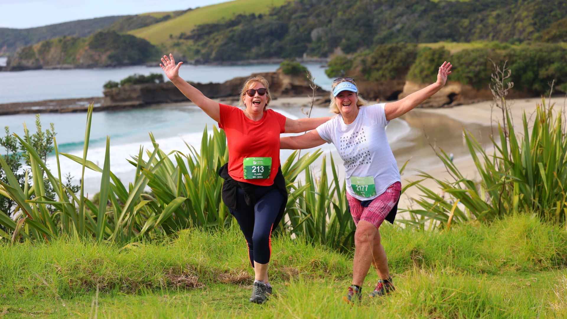
Set on the eastern end of the Tāwharanui Peninsula, this park boasts some of our region's most beautiful white sand beaches, rolling pastures, shingled bays, native coastal forest and regenerating wetlands.
The park is a very successful wildlife sanctuary, so the bird life is incredible too!
There is plenty of elevation to keep you honest, and more 360degree views than you could throw a stick at. You are going to want to jump in the crystal clear waters when finished so remember to pack a towel.
EVENT INFORMATON
You will find everything you need to know for your event day below and on the Event Information page. Please ensure you have read all of this information thoroughly.
2026 TĀWHARANUI EVENT INFORMATION EMAIL
KAURI DIEBACK PREVENTION
As trail users we all need to do our bit to protect the Kauri and prevent the spread of Kauri Dieback disease.
All footwear should be clean and free from any trace of visible soil.
Footwear should then be disinfected once soil has been removed.
Stay on tracks and off Kauri roots.
For more information please see: www.kauriprotection.co.nz
START TIMES
Compulsory event briefings will be held 15 minutes before the start of each event - please be at these!
Super long (Run Only) – 9.00am
Long (Run Only) – 9:00am
Mid run – 10:00am
Mid walk – 10:05am
Short run – 11:00am
Short walk – 11:05am
DRIVING DIRECTIONS
Event base is located within Tāwharanui Campground, this is the start and finish location for all events.
Google maps will take you to slightly beyond the turn needed for vehicle access to the campground, so keep an eye out for a left turn. Event signage will be here to direct you.
Please ensure you do not park until instructed to by our parking marshals - it is a condition of our permit that we restrict event parking to our permitted areas,
Full driving and parking instructions can be found HERE.
PLEASE NOTE : No dogs are allowed in your cars, on the course or within the regional park grounds.
CUP FREE EVENT
All our events are cup free to minimise our waste production. Please remember your reusable cup, hydration pack or water bottle to fill up.
You can purchase a collapsible silicone water cup ($5) or soft flask ($10) at event base.
COURSE INFORMATION
SHORT COURSE
Distance: 7km
Total Climb: Approx. 220m
Downloadable Course Map & Elevation Profile: Click here to view
Course Overview: You’ll begin with a flat stretch of gravel road to thin the pack out and get the legs warmed up, then its past the lagoon and up the hill for your first decent climb. Its up and down for the next few kms as you meander along the Southern ridge line on a mixture of gravel & grass tracks. There are stunning views of Kawau Island to the South and the regional park and beyond to the North.
The course cuts through the middle of the peninsula through the stunning native coastal forest on the Ecology Trail, before popping out on the opposite (Northern) side. From there its downhill with spectacular views to the North, then continue on to the finish.
Grab yourself an ice cold Speights and kick back at the event base!
Drink Stations:
4.3km (with PURE electrolyte hydration, water, chips, pretzels & lollies)
6.3km (with PURE electrolyte hydration, water, chips, pretzels & lollies)
*Please remember your own cup/bottle/hydration pack as there will be no disposable cups provided at drink stations
Toughness Factor: 6/10
GPX File: Click here to download the Short Course GPX file
Participant Briefing: Click here to view
MID COURSE
Distance: 12.5km
Total Climb: Approx. 410m
Downloadable Course Map & Elevation Profile: Click here to view
Course Overview: You’ll begin with a flat stretch of gravel road to thin the pack out and get the legs warmed up, then its past the lagoon and up the hill for your first decent climb. Its up and down for the next few kms as you meander along the Southern ridge line on a mixture of gravel & grass tracks. There are stunning views of Kawau Island to the South and the regional park and beyond to the North.
The course cuts through the middle of the peninsula through the stunning native coastal forest on the Ecology Trail, before popping out on the opposite (Northern) side. Turn right and head out to complete the Tokatū Point Loop Track which provides views out to Little & Great Barrier Islands.
You come back along the remainder of the South ridge and pass through middle once more, then continue on to the finish.
Grab yourself an ice cold Speights and kick back at the event base!
Drink Stations:
4.3km (with PURE electrolyte hydration, water, chips, pretzels & lollies)
8.5km (with PURE electrolyte hydration, water, chips, pretzels & lollies)
11.8km (with PURE electrolyte hydration, water, chips, pretzels & lollies)
*Please remember your own cup/bottle/hydration pack as there will be no disposable cups provided at drink stations
Toughness Factor: 7/10
GPX File: Click here to download the Mid Course GPX file
Participant Briefing: Click here to view
LONG COURSE (RUN ONLY)
Distance: 16.5km
Total Climb: Approx. 465m
Downloadable Course Map & Elevation Profile: Click here to view
Course Overview: You’ll begin with a flat stretch of gravel road to thin the pack out and get the legs warmed up, then its past the lagoon and up the hill for your first decent climb. Its up and down for the next few kms as you meander along the Southern ridge line on a mixture of gravel & grass tracks. There are stunning views of Kawau Island to the South and the regional park and beyond to the North.
The course cuts through the middle of the peninsula through the stunning native coastal forest on the Ecology Trail, before popping out on the opposite (Northern) side. From there its downhill with spectacular views to the North, then continue on, passing the finish and heading out to complete the Western Loop.
You make your way to the most Northern part of the park, then take a sharp left and scale the hill beside the predator fence (a good climb!). Following West End Track along the top before dropping down to sea level and making your way past the Lagoon and up that initial hill once more.
You take a different track to split the peninsula on the second lap, through open farmland this time. From the bottom, Its just a short blast to the finish.
Grab yourself an ice cold Speights and kick back at the event base!
Drink Stations:
4.3km (with PURE electrolyte hydration, water, chips, pretzels & lollies)
6.5km (with PURE electrolyte hydration, water, chips, pretzels & lollies)
9.5km (with PURE electrolyte hydration, water, chips, pretzels & lollies)
13.5km (with PURE electrolyte hydration, water, chips, pretzels & lollies)
*Please remember your own cup/bottle/hydration pack as there will be no disposable cups provided at drink stations
Toughness Factor: 7/10
GPX File: Click here to download the Long Course GPX file
Participant Briefing: Click here to view
SUPER LONG COURSE (RUN ONLY)
Distance: 20km
Total Climb: Approx. 615m
Downloadable Course Map & Elevation Profile: Click here to view
Course Overview: You’ll begin with a flat stretch of gravel road to thin the pack out and get the legs warmed up, then its past the lagoon and up the hill for your first decent climb. Its up and down for the next few kms as you meander along the Southern ridge line on a mixture of gravel & grass tracks. There are stunning views of Kawau Island to the South and the regional park and beyond to the North.
The course cuts through the middle of the peninsula through the stunning native coastal forest on the Ecology Trail, before popping out on the opposite (Northern) side. Turn right and head out to complete the Tokatū Point Loop Track which provides views out to Little & Great Barrier Islands.
You come back along the remainder of the South ridge and pass through Ecology Trail once more. Turning left at the top this time and its downhill with spectacular views to the North, before passing the finish and heading out to complete the Western Loop.
You make your way to the most Northern part of the park, then take a sharp left and scale the hill beside the predator fence (a good climb!). Following West End Track along the top before dropping down to sea level and making your way past the Lagoon and up that initial hill once more.
You take a different track to split the peninsula on the second lap, through open farmland this time. From the bottom, Its just a short blast to the finish.
Grab yourself an ice cold Speights and kick back at the event base!
Drink Stations:
4.3km (with PURE electrolyte hydration, water, chips, pretzels & lollies)
8.5km (with PURE electrolyte hydration, water, chips, pretzels & lollies)
11km (with PURE electrolyte hydration, water, chips, pretzels & lollies)
13km (with PURE electrolyte hydration, water, chips, pretzels & lollies)
17km (with PURE electrolyte hydration, water, chips, pretzels & lollies)
*Please remember your own cup/bottle/hydration pack as there will be no disposable cups provided at drink stations
Toughness Factor: 8/10
GPX File: Click here to download the Super Long GPX file
Participant Briefing: Click here to view
COURSE SAFETY
We strongly recommend that all competitors come to these events sensibly prepared as some of these courses are very tough and weather conditions can be extremely changeable.
We recommend running with a Hydration back pack loaded with 500ml - 1 litre of liquid, and other nutritional nibbles. You can expect to be away from base for a decent period of time at these events, and we can't always get aid stations to the points where you may expect them to be.
While event medics will be at each event (they will be stationed at the event base, start / finish point) and participants may encounter on course marshals with first aid on them, it also pays to be safety conscious and carry items like:
a basic first aid kit
a cell phone
a whistle
additional warm clothing
It's all about personal responsibility!
Participant Briefing: Click here to view
Tāwharanui Open Sanctuary Society Inc (TOSSI)
The Tāwharanui Open Sanctuary Society (TOSSI) is a not-for-profit organisation that works in partnership with Auckland Council at Tāwharanui Regional Park. They are involved in volunteer programmes, fundraising, education and advocacy.
Join us on the first Sunday of each month, where we’ll kick off our day with a morning’s work followed by a barbecue lunch. Afterwards enjoy a presentation prepared by the TOSSI team. For more information visit tossi.org.nz